
Resources and Data
Climate data and other information for researchers, communities, government, and decision-makers
Penn State Resources
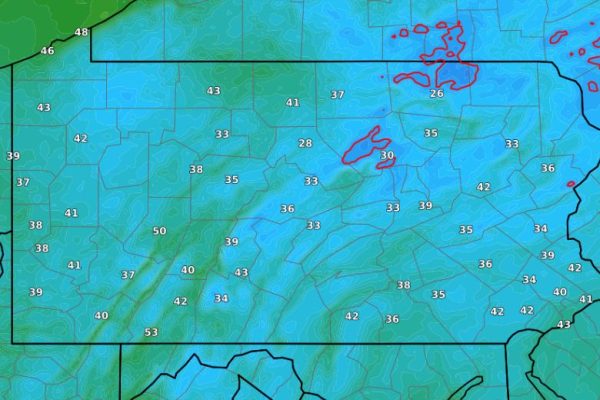
Pennsylvania State Climatologist
Providing the most accurate and complete climatological data available for the Commonwealth of Pennsylvania.
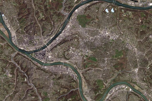
Pennsylvania Spatial Data Access
Pennsylvania Spatial Data Access (PASDA) is Pennsylvania’s official public access open geospatial data portal.
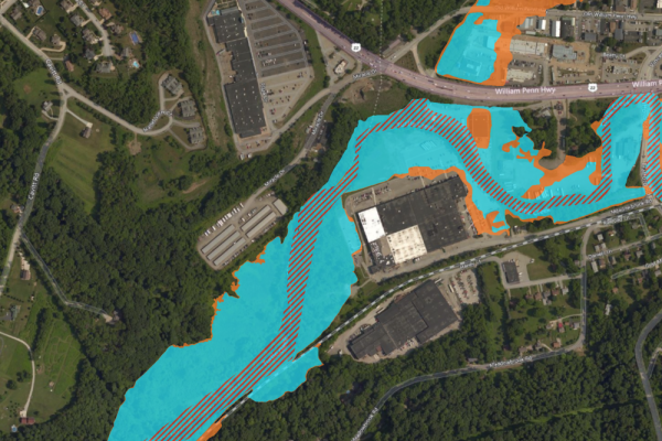
Pennsylvania Flood Risk Tool
Providing insurance agents, developers, local planners, and citizens with information about the flood risk of a specific area or property.

Penn State Carbon Emissions Reduction
Penn State is pursuing a goal of achieving 100% greenhouse gas emissions reduction by 2035.
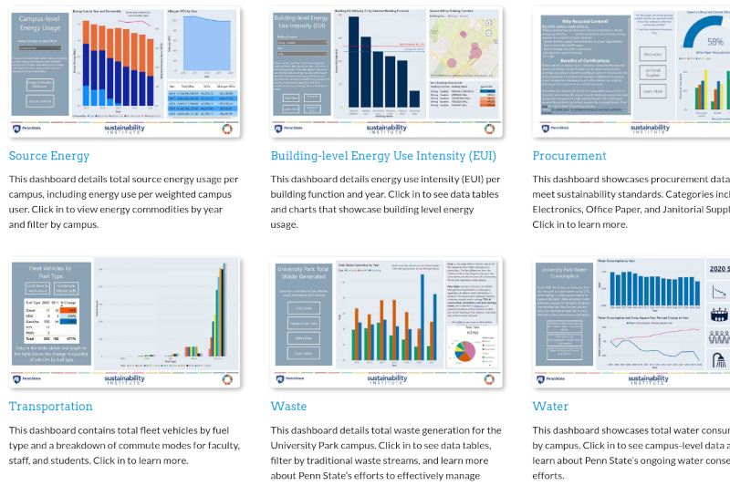
View Our Progress: Sustainability Dashboard
The View our Progress page provides information on Penn State’s sustainability performance in areas of energy, waste, water usage, and more.